How Satellites Changed Weather Forecasting
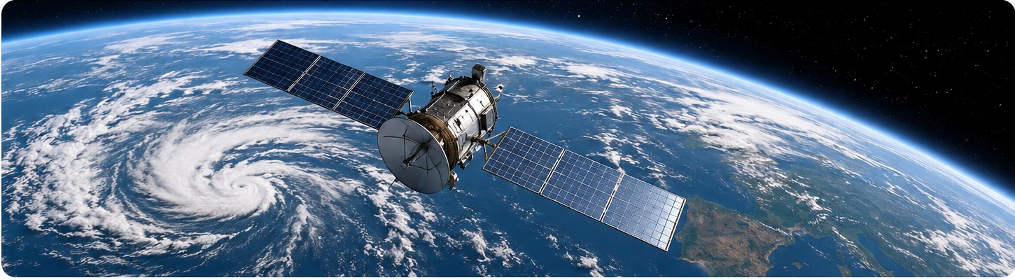
Before weather satellites, meteorologists relied heavily on observations from land stations, ships, balloons and aircraft. These measurements were valuable but unevenly distributed, especially over oceans and remote regions. Large storms could develop far from observation points and remain poorly understood until they approached populated areas.
Weather satellites transformed this situation by providing repeated views of enormous areas. Instruments can observe cloud patterns, estimate temperatures at different levels of the atmosphere and track water vapour. Some satellites remain above the same region of Earth, producing frequent images that reveal how storms evolve. Others orbit the planet and collect detailed measurements across a wider range of locations.
Satellite data alone do not create a forecast. Observations from many sources are fed into numerical weather models, which use mathematical equations to simulate the atmosphere. Forecasters then interpret model results, compare different scenarios and communicate likely conditions and uncertainties.
The system is not perfect. Small-scale events can still be difficult to predict, and the atmosphere is highly complex. Nevertheless, satellites have greatly improved our ability to observe storms over oceans, monitor tropical cyclones and provide earlier warnings of dangerous weather.
Questions
How Satellites Changed Weather Forecasting — Answer Key
Continue practising
Build on this activity with another closely related practice.